The Modernization and the National Movement Room houses Silhak (Practical Learning) literature (the germination of modern thought during the late Joseon Dynasty), as well as Western astronomy and geographical literature, world maps from China, and Korean maps, giving a glance at the changes that occurred in the prevailing Joseon world view. Other items on display shed light on the Korean people’s national movement that emerged in response to foreign aggression in the late 19th century.
Permanent Exhibition
-
- Exhibition
- Permanent Exhibition
- Modernization and National Movement Hall
Category Title
- The Introduction of Western Science and the Development of Silhak (Korean Practical Learning)
- The Development of Astronomy and a Geography, and a World View Change
- The Development of Korean Geography and the Promotion of Patriotism
- National Isolation Policy and the Rejection of Heterodoxy
- Foreign Aggression and the Enlightenment Movement
- Japanese Colonial Rule and the Independence Movement
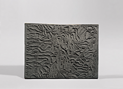
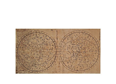
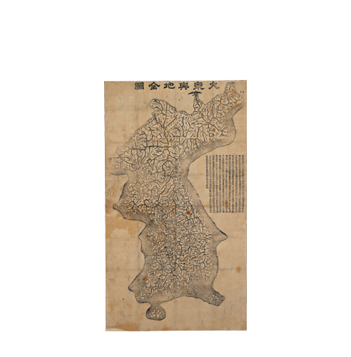
Records indicate that a Korean map was manufactured during the Three Kingdom Period, and that during the Goryeo period the map was manufactured according to the reshuffling of administrative zones. However, such maps do not exist today. In Joseon, the need to manufacture maps was recognized, since the dynasty was concerned about its northern territory and had reshuffled its administrative units. Most of the maps manufactured in the early Joseon Dynasty were either lost or taken to Japan, so only a few of them remain today. After the 17th century, developments in astronomy and geography were imported via China and many maps were produced. In particular, the development of wood printing technology prompted the manufacture of a variety of maps including world maps, national maps, and regional maps. Furthermore, with the printing of world maps and celestial charts, the Korean people broadened their world view, while Korean maps like that of Kim Jeong-ho were further elaborated based on thorough surveys and historical investigation.
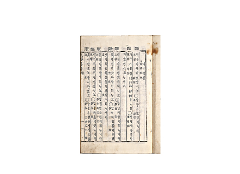
In the late Joseon Dynasty, with the continued development of cartography, a new atmosphere was created in the field of geography; pragmatists activated research into descriptive geography. Lee Jung-hwan authored Taekriji (Geography of Korea), while Jeong Yak-yong wrote Abanggangyeokgo (History and Geography of the Korean Territory) and produced Daedongjiji (Korean Geography Book), a work that sought to define each city's longitude and latitude with a descriptive focus on Joseon's geographical features. Choi Han-gi wrote Jigujeonyo (Introduction to the Study of the Earth), detailing celestial bodies and the earth's nature and descriptive geography. With the spread by foreign missionaries of Saminpilji (What Everybody Must Know about Geography), Jiguyakron (Short Explanations of the Earth) and other educational world atlases during the enlightenment period, public interest in world maps was aroused.


